Find all our Products and Offer's
Software used by professionals for various industries.

CONTEXTCAPTURE
Reality Modeling WorkSuite
Bentley's Reality Modeling WorkSuite provides a comprehensive solution for adding digital context to projects, integrating data from various sources like point cloud, imagery, and GIS.
Download DatasheetBuy now

GINT
gINT
streamlines geotechnical subsurface projects by automating repetitive tasks, eliminating redundant data entry, and improving productivity and decision-making through accessible, interoperable data.
Download DatasheetBuy Now

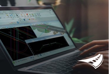
MICROSTATION
Microstation
Only computer aided design software for infrastructure design, helping architects and engineers like you bring their vision to life, present their designs to their clients, and deliver their projects to the community.
Download DatasheetBuy Now

Open Building Designer
OpenBuildings
OpenBuildings Designer is a BIM software that streamlines architectural and engineering work, allowing simultaneous design, modeling, and analysis of various building types and pedestrian simulations.
Download DatasheetBuy Now

OpenBuildings Speedikon
OpenBuildings
OpenBuildings Speedikon streamlines your workflow, throughout the design, structural drafting, and construction documentation process, for new and existing industrial facilities, airports, hospitals, and factories.
Download DatasheetBuy Now

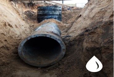
OpenFlows CivilStorm
OpenFlows
Analyzes stormwater systems, detects bottlenecks, improves capacity, and minimizes infrastructure investments. It offers 1D/2D hydraulic analysis for better understanding of flood depth and velocity.
Download DatasheetBuy Now

OpenFlows CulvertMaster
OpenFlows
This calculator is designed for designing and analyzing culvert hydraulics, considering watershed data, culvert characteristics, and weir geometry, ranging from single-barrel crossings to complex embankment systems.
Download DatasheetBuy Now

OpenFlows FLOOD
OpenFlows
FLOOD is a flood modeling software that aids in analyzing and mitigating flood risk in urban, riverine, and coastal areas, using spatially distributed numerical models for emergency planning and FEWS support.
Download DatasheetBuy Now

OpenFlows FlowMaster
OpenFlows
FlowMaster is a reliable calculator for designing and analyzing various hydraulic elements like pressure pipes, open channels, weirs, orifices, and inlets, replacing the error-prone spreadsheet process.
Download DatasheetBuy Now

OpenFlows HAMMER
OpenFlows
HAMMER is a cost-effective software for managing transients in water or sewer systems, preventing damage, operator safety, and disrupting service. It helps identify critical points and facilitates sound system design.
Download DatasheetBuy Now

OpenFlows PondPack
OpenFlows
PondPack is a versatile software for detention pond analysis and design, allowing users to model various projects, including drainage studies, with a graphical user interface, and the ability to add background layers.
Download DatasheetBuy Now

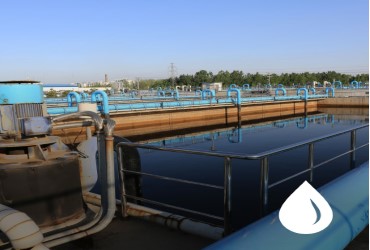
OpenFlows SewerCAD
OpenFlows
SewerCAD is a user-friendly software utilized by municipalities, utilities, and engineering firms for designing, analyzing, and planning wastewater collection systems, including pressurized force mains and gravity hydraulics.
Download DatasheetBuy Now
OpenFlows SewerGEMS
OpenFlows
SewerGEMS is a user-friendly engineering software for analyzing, designing, and operating sewer systems, providing reliable results, SCADA integration, and user-friendly 1D/2D hydraulic analysis capabilities.
Download DatasheetBuy Now

OpenFlows StormCAD
OpenFlows
StormCAD is a powerful modeling software for designing and analyzing storm sewer systems, offering calculations, inlet capacities, and flow calculations across platforms for interoperability.
Download DatasheetBuy Now

OpenFlows WaterCAD
OpenFlows
WaterCAD is a user-friendly software for analyzing, designing, and optimizing water infrastructure, enhancing water quality, energy cost management, and identifying water blending issues.
Download DatasheetBuy Now
OpenFlows WaterGEMS
OpenFlows
User-friendly hydraulic modeling application that aids in analyzing, designing, and optimizing water distribution systems, enhancing interoperability, geospatial model building, and asset management.
Download DatasheetBuy Now

Water WorkSuite
OpenFlows
The Water WorkSuite includes discounted OpenFlows WaterGEMS and OpenFlows SewerGEMS, empowering utilities and consultants in planning and optimizing water distribution and sewer systems.
Download DatasheetBuy Now

Orbit
Orbit
Orbit enables sharing of 360°, planar, nadir, street view, and oblique imagery, publishing unlimited volumes of planar/panoramic images, meshes, and point clouds from any source.
Download DatasheetBuy Now

OpenPlant Modelar
OpenPlant
Create 3D plant models quickly and easily using parametric equipment modeling, specification-driven piping, HVAC, electrical cable trays, and structural steel libraries in an intuitive, collaborative environment.
Download DatasheetBuy now
OpenRoad Designer
OpenRoad
streamlines geotechnical subsurface projects by automating repetitive tasks, eliminating redundant data entry, and improving productivity and decision-making through accessible, interoperable data.
Download DataasheetBuy Now

ProjectWise Engineer
ProjectWise
ProjectWise Engineer Virtuoso Subscription is a top-tier software for design coordination and collaboration, enabling faster approval cycles, reduced errors, and compliance with project standards.
Download DatasheetBuy Now
PLAXIS 2D
Plaxis
Aids in modeling various geotechnical problems, including deformation and stability analysis in projects such as excavations, embankments, foundations, tunneling, mining, and geomechanics.
Download DatasheetBuy Now

PLAXIS 3D
Plaxis
PLAXIS 3D is a user-friendly, finite element package used by geotechnical engineers for CAD-like drawing analysis of subsurface environments, assessing geotechnical risk in various projects.
Download DatasheetBuy Now

ProStructures
ProStructures
ProStructures is a software that enhances productivity and profitability by providing parametric structural components for steel and concrete structures, including ProSteel and ProConcrete.
Download DatasheetBuy Now

RAM Connection
RAM
Create 3D plant models quickly and easily using parametric equipment modeling, specification-driven piping, HVAC, electrical cable trays, and structural steel libraries in an intuitive, collaborative environment.
Download DatasheetBuy now

SACS Collapse
SACS
Software for analyzing offshore structures, aiding in determining structural limits, identifying failure mechanisms, and reducing risk of structural failure due to extreme loads or accidental incidents.
Download DataasheetBuy Now

STAAD.Pro
STADD
Powerful structural finite element analysis application with visualization capabilities, integrating into BIM workflows, and allowing multi-discipline collaboration on structures exposed to various loads.
Download DatasheetBuy Now
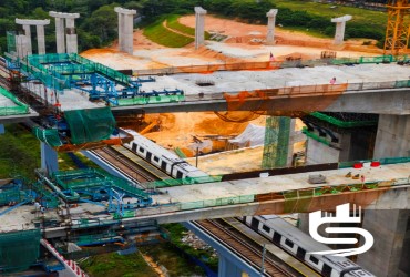
SYNCHRO 4D
Synchro
SYNCHRO 4D is a real-time cloud solution for digitally enhanced construction planning and operations, integrating with major 3D modeling tools for efficient project delivery.
Download DatasheetBuy Now
Let’s find out how to work together
Ready to start your project? The contact information collected through
this form will only be used to send a response to your inquiry.

© 2024 CSA Made with by Aurora Benign ITC.